Shikshan Prasarak Mandali develops 3D map of Akhand Bharat; Maha Guv says wonderful initiative to connect our children to Akhand Bharat
12 Oct 2022 17:58:26
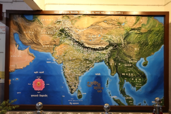
Pune, Oct 12: In a significant development, Shikshan Prasarak Mandali's, SPM English School of Pune developed a 3D mural of Akhand Bharat and displayed it in front of Governor of Maharashtra Bhagat Singh Koshiyari on Tuesday.
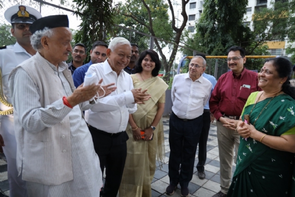
The Governor addressed the audience and appreciated the efforts of the School in putting up the Akhand Bharat Map in an English medium school. Developing a first-of-its-kind map of Akhand Bharat, the governor said that this map is a wonderful initiative to connect our children to the history and geography of Bharat.

India's first Ancient India complete 3D map of 15 feet x 10 feet size was recently commissioned and installed at S.P.M. English School. The concept of this map being installed in SPM English School was first putforth by Mihir Prabhudesai, Chairman school committee.
The project was conceptualized by Shivseva Pratishthan's Chief, Dhananjay Chandratre and was designed and produced by Rishikesh Raut, Founder and Principal Designer of Studio bucket design and his team after 4 month's research in collecting relevant information. It took 3 months to produce and install this map at SPM English School, Pune. Mrs. Rama Kulkarni, Principal at SPM English School also helped in curating this map.

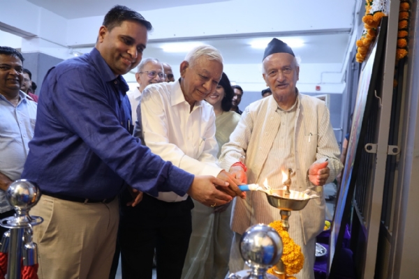
Bhagat Singh Koshiyari, Governor of Maharashtra, who lit the lamp , performed a puja of Bharat Mata
This ancient India map is produced using latest 3D technology and is made up of Fibre Reinforced Plastic, which is highly durable in it's nature. This map being three dimensional in it's nature, it exactly replicates all geographical features like mountain ranges, hills, plateaus, valleys, rivers, coastal areas and geographical contours of the Indian sub-continent. The viewer gets to experience the Indian geography as it is in it's miniature format.
One gets to see all the ancient cultural cues in this 3D map of Ancient India such as, sixteen Maha Jana padas mentioned in Mahabharata, ancient kingdoms and their regions. This 3D map is not only a geographical representation of the current India but also a cultural legend of Ancient India that is long forgotten by our current generations.

Following information has been included in this 3D map
1. Sixteen Maha Janapadas mentioned in Mahabharata
2. Seven important Rivers of India
3. Char Dham
4. Twelve Jyotirlingas
5. Four Adi Shakti Pithas
6. Seven Moksh Puris
7. Kumbh Mela Sthan
8. Ancient Indian Universities

9. Indian Mountain ranges
10. Historical Kingdoms and their regions
11. Ancient names of various regions
12. Ancient names of various cities
13. Current names of ancient cities
14. State boundaries
15. Broundries of different countries
16. Captitals of various countries and states.
Students learn and memorise lot of things quickly through experiences and visuals. For example, they learn about science through various experiments in Science labs. This 3D map of ancient India, is just like a History-Geography Experience Lab for students, where they actually get to experience and re-live the geographical and historical events and moments in the History of India. This History-Geography 3D lab is a must have lab for all schools.
Unless our students relate themselves with the great history and heritage of our nation and experience it in relation with our vast and diverse geography, our future generations will never be able to emotially bond with the idea of Ancient India.